Willkommen
歡迎
Bienvenido
أهلا بك
добро пожаловать
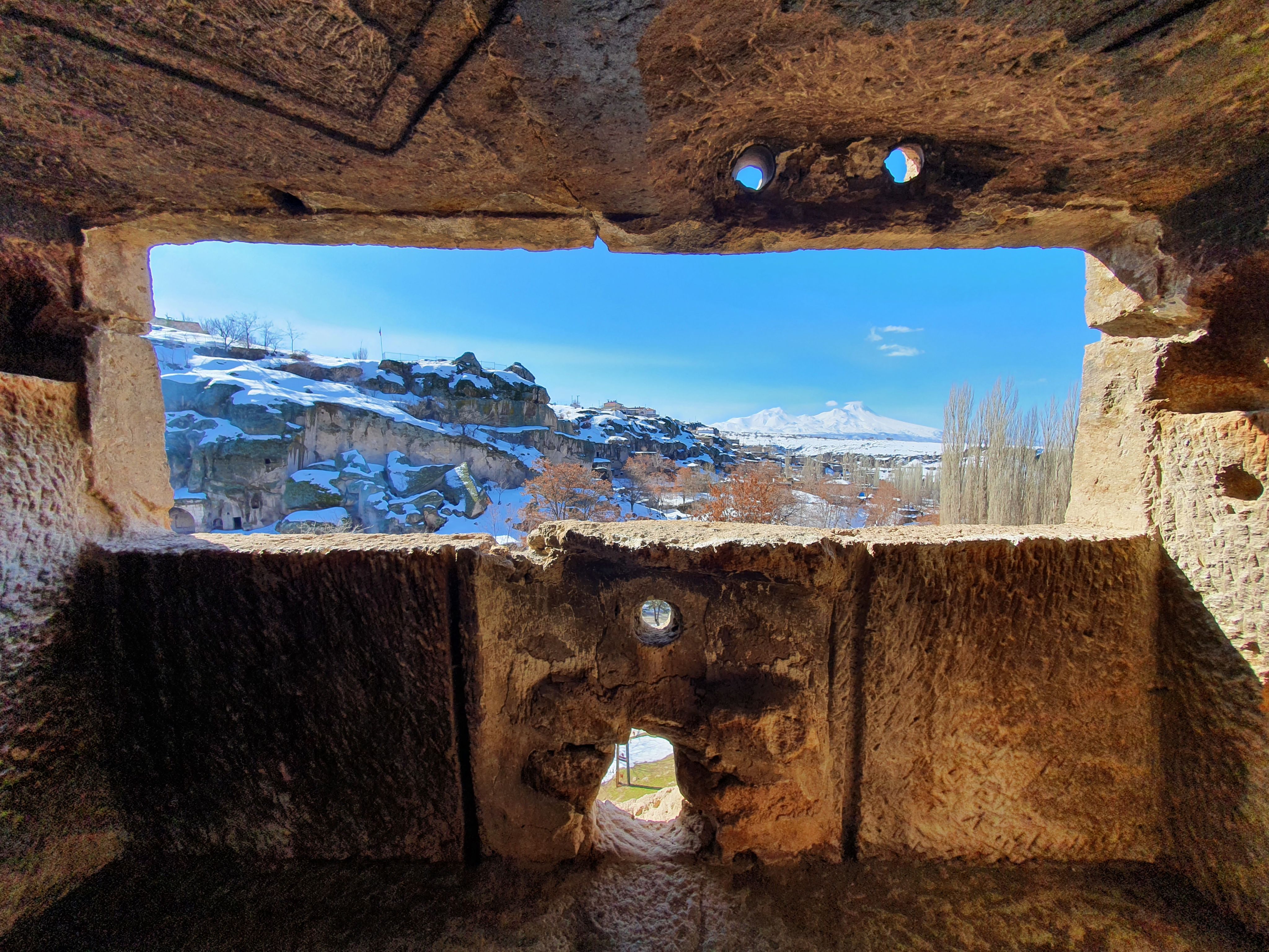
Good morning, good afternoon, or maybe good evening.
Thank you for visiting my website :). I hope the following scroll-down will not take up too much of your time and you will get a glimpse of my life, studies, and experiences so far. Perhaps when you finish, I can be of service to whatever troubling you and your organisation.
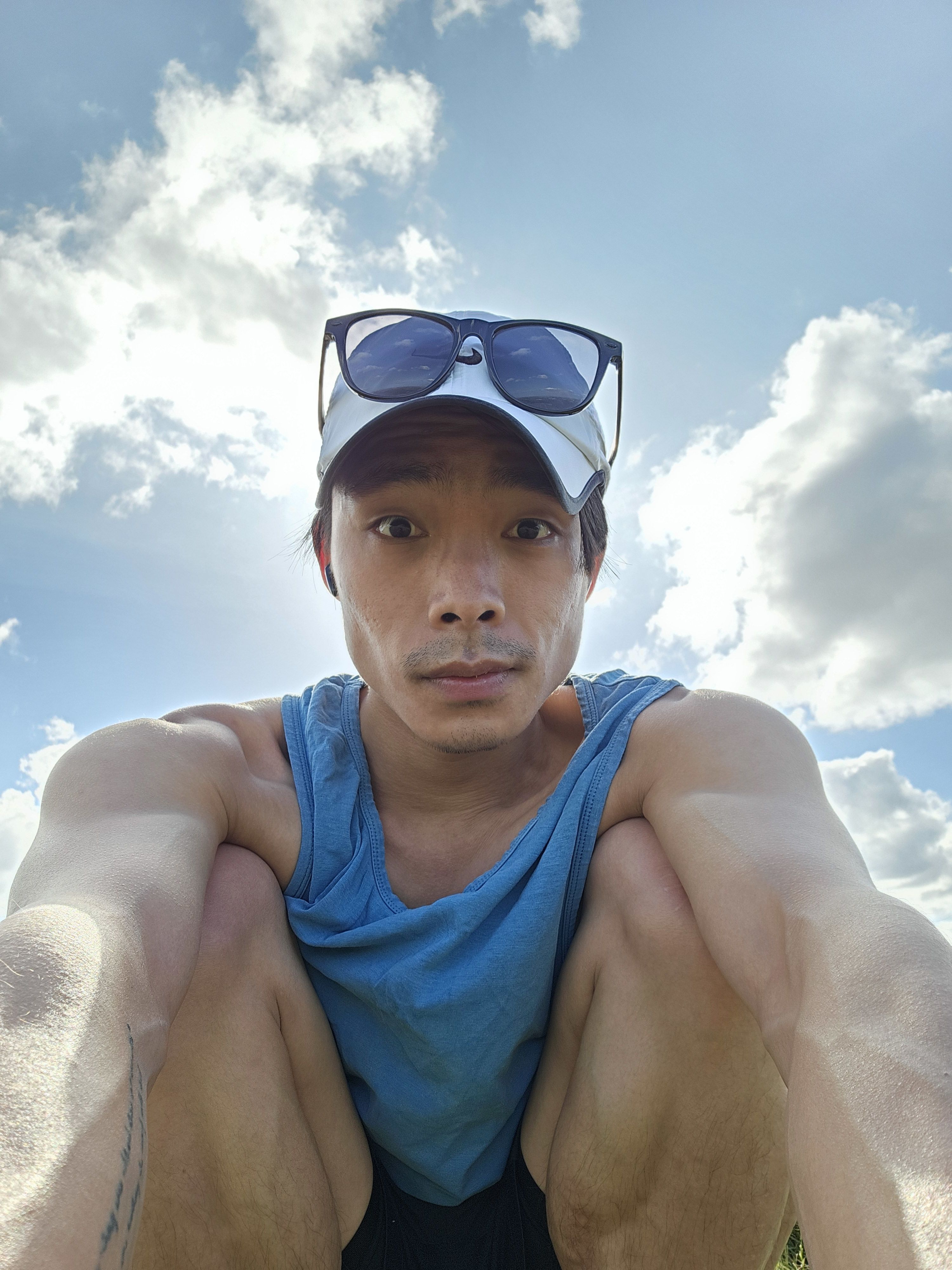
My name is Chris. I am a Geographer by training, "Data Scientist" by practice. I guess this is what my teacher said when we were being "trained" for jobs that did not exist. This makes me a Geospatial Data Nerd!
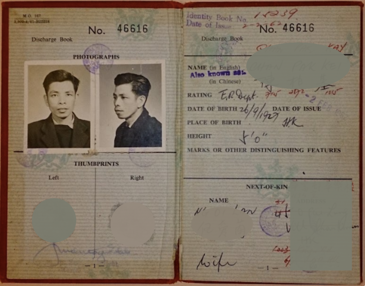
Becoming a Geospatial Data Nerd was not really a career choice that I anticipated, but more of the culmination of childhood likes and discovering what I am good at. Originating from the fragrant harbour of Hong Kong 香港, I grew up with great stories of my Grandpa's great long-haul voyages as a Pumpman-Engineer. My many first Geography lessons taught through the word-of-mouth.
His stories of crossing the Panama Canal, the Suez Canal, cruising around the Cape of Good Hope introduced me to wild imagination and planted the seed of wanderlust and adventure deep into my young heart.
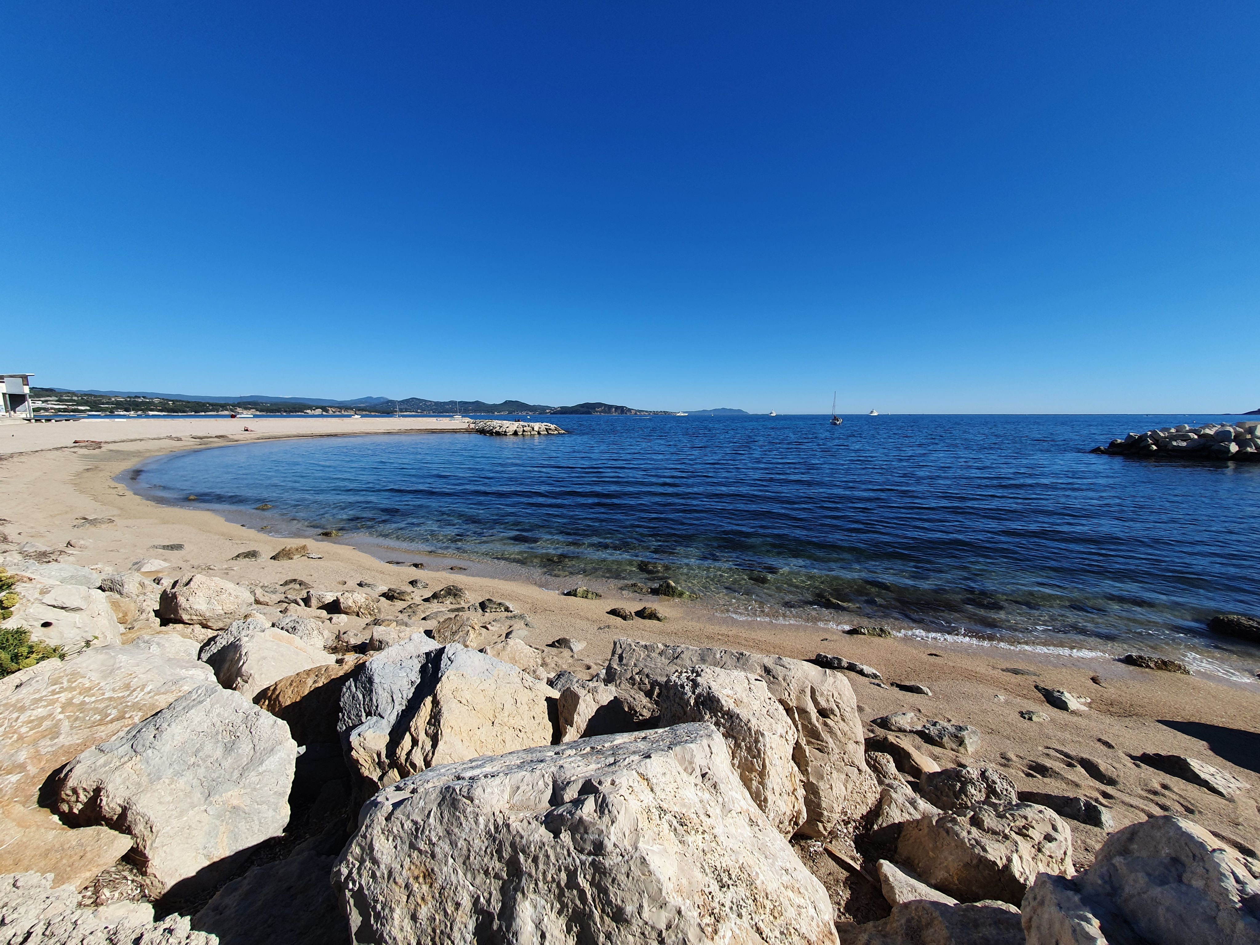

BSc. (hons) at the University of Edinburgh
Believing that the pursuit of "knowledge" shall be well-rounded, I stumbled into the lecture halls for Anthropology, Physical & Human Geography, Political Philosophy, and Español etc. Easily fascinated by all the tangents each provided, I devoted the first 2 years exploring the breath of which the University had to offer!
Otherwise, I spent as much free time as possible exploring the Scottish Highlands, trying to stay warm in the mild Scottish summer and fighting the infamous spindrift in winter. May have broken a few bones here and there.
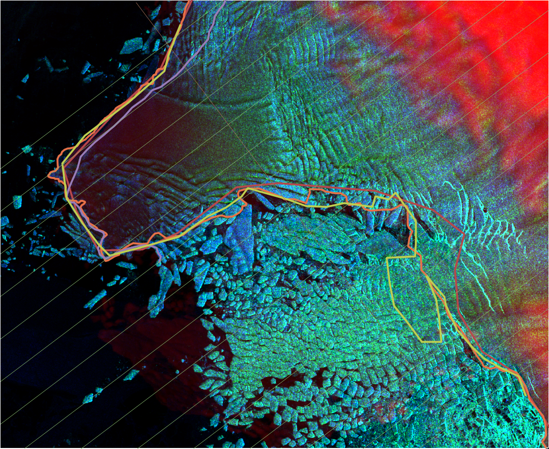
Later, I found my early specialisation in Glacial Geomorphology and Geoinformtion, where I was honoured to have been taught by pioneers and legends of the Glaciology field. I wrote my BSc. dissertation in tracking the recent (2019) advance and retreat of the Jakobshavn Isbræ Glacier in the Western Greenland Ice Sheet. I also volunteered to help with the peer-assisted learning program GeogPALS.
MSc. at the Julius-Maximilians-Universität Würzburg
Keen for a change of scene, I decided I needed a new challenge and moved to Deutschland for my Master studies.
Master degree is the time for building solid and advanced technical foundations. With a good epistemological framework from my Bachelor years, I took these few years to learn as much as possible technically. Most of the time, I held down part-time work at various organisations while completing the necessary coursework. I improved my skills in map making, presentation, learnt new skills such as Deutsch, scientific computing, plotting, and working with the command line etc. Life was not always smooth sailing at times, but in retrospect I am grateful for all the opportunities, friendship, and support I have received.
Once COVID was over, I had a few fortunate chance of attending professional conferences and occasionally presenting at:
- World Urban Forum 11 (Katowice, Polska)
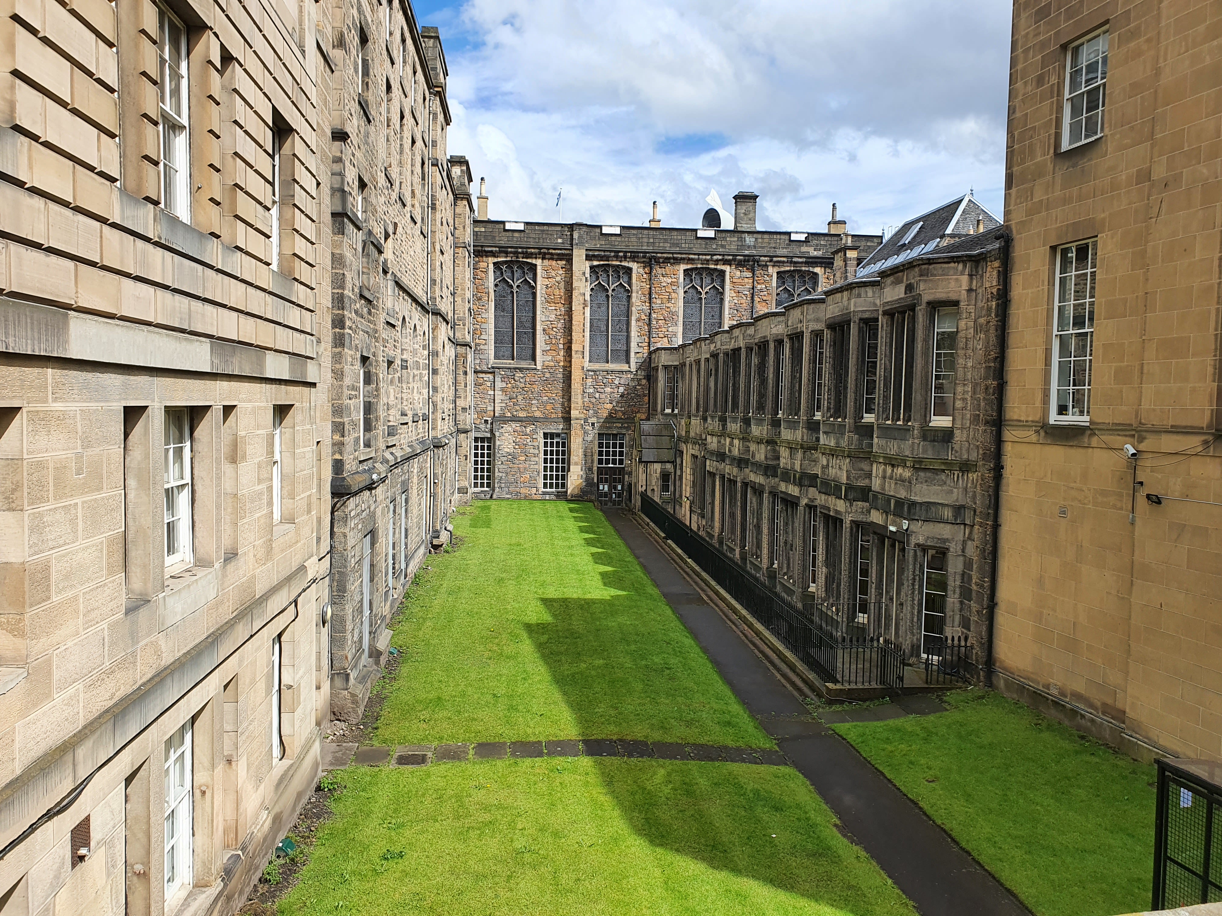
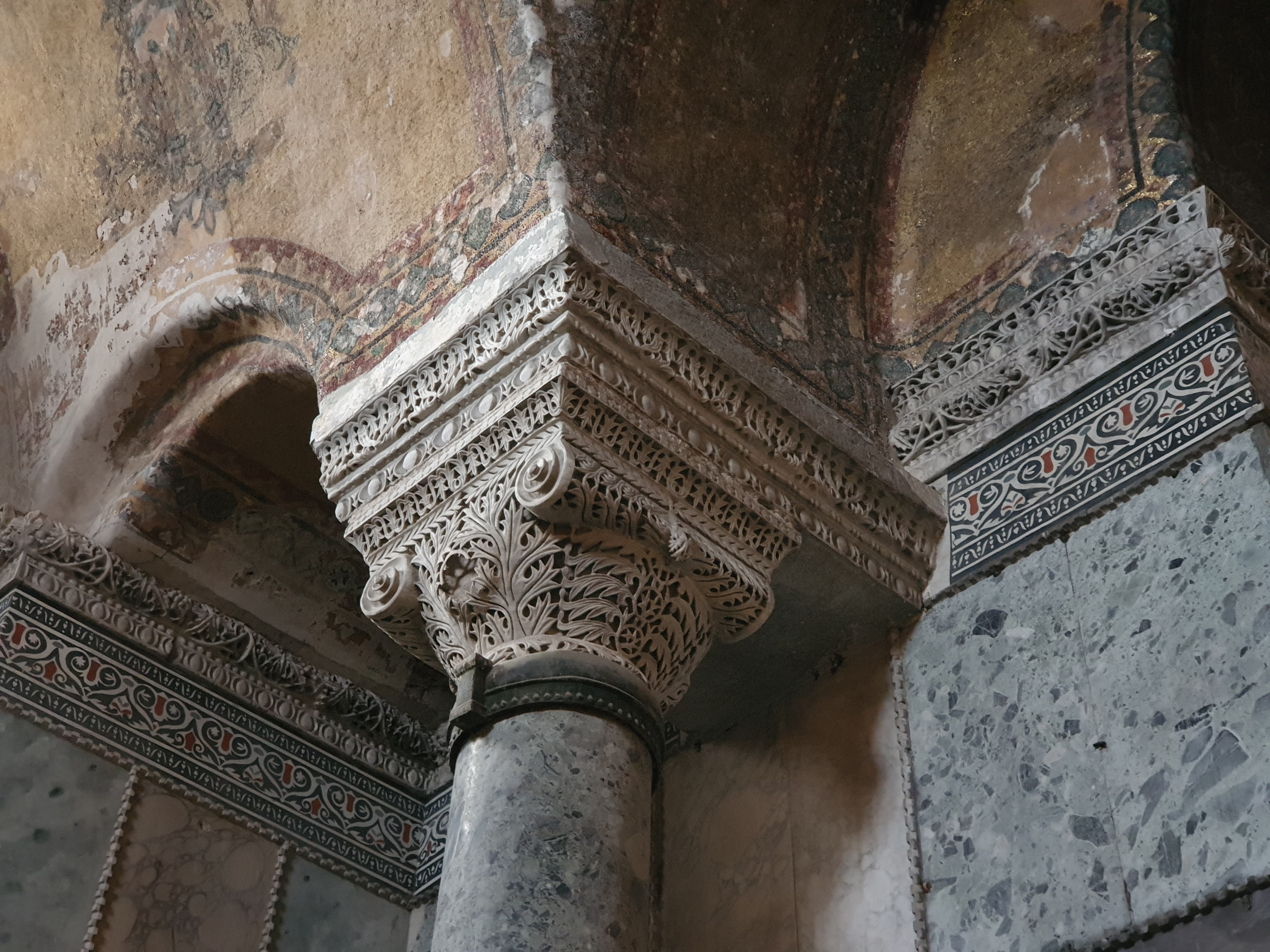
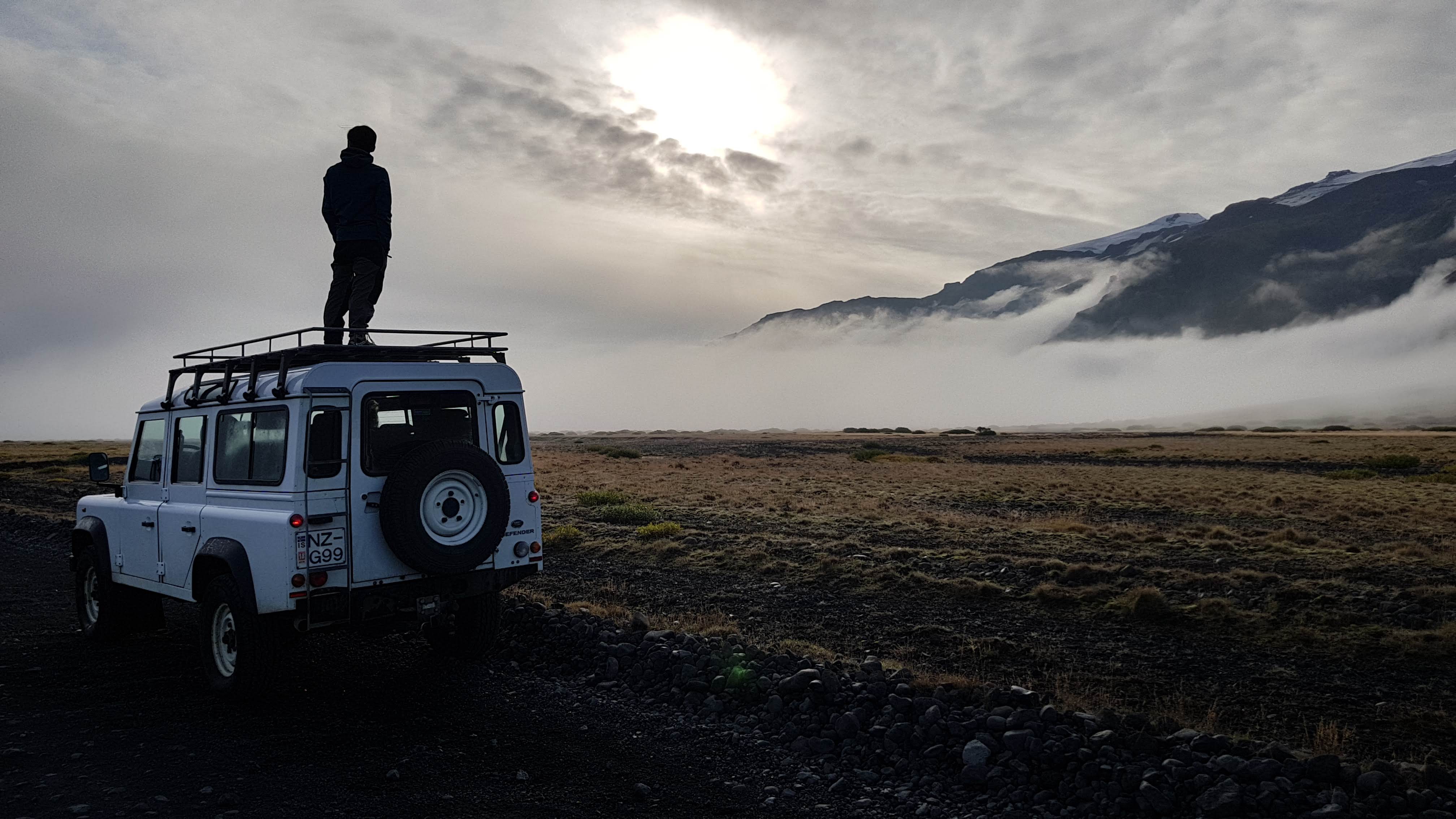
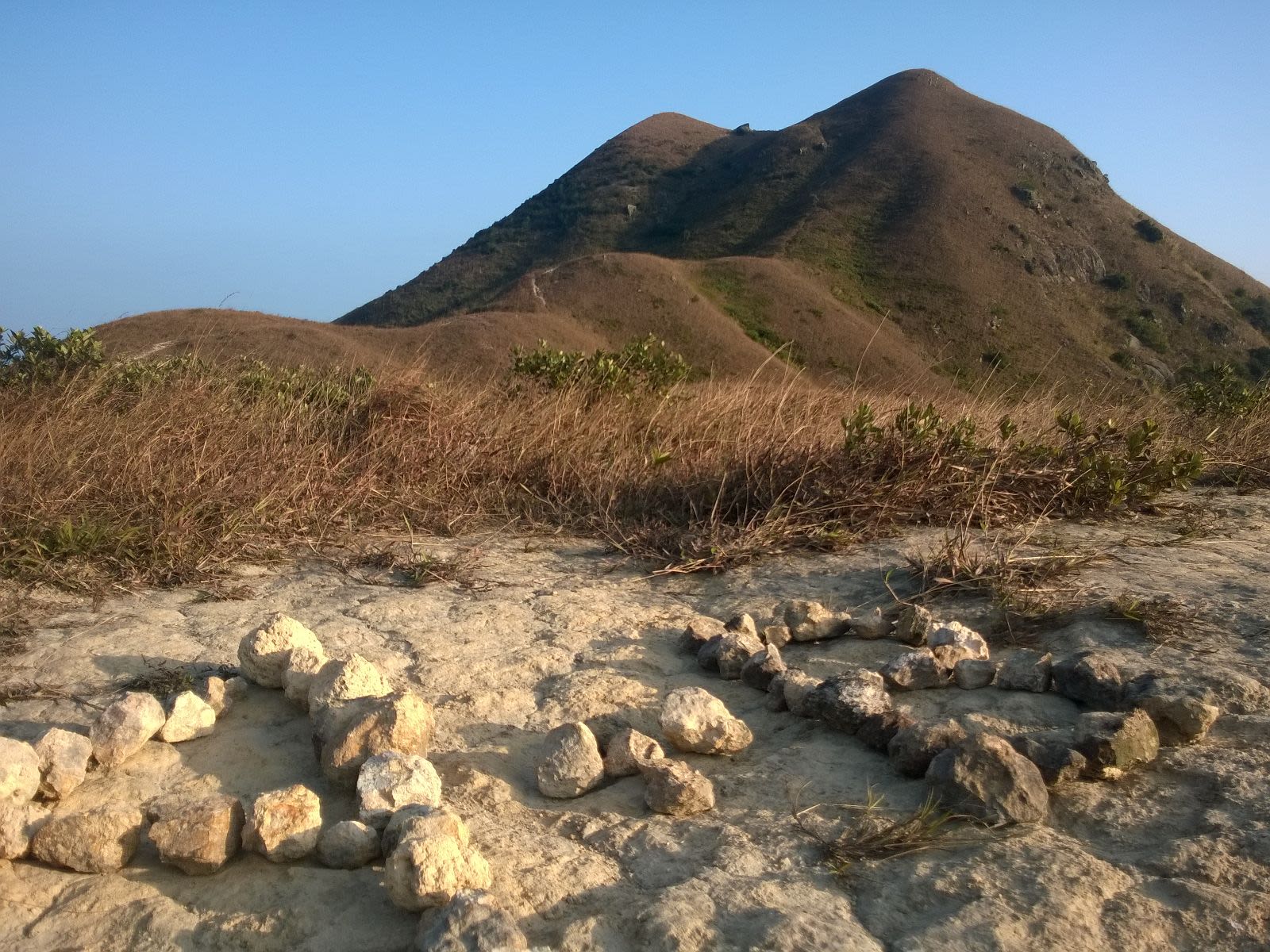
Looking towards Eyjafjallajökull.
Looking towards Eyjafjallajökull.
By 2019...
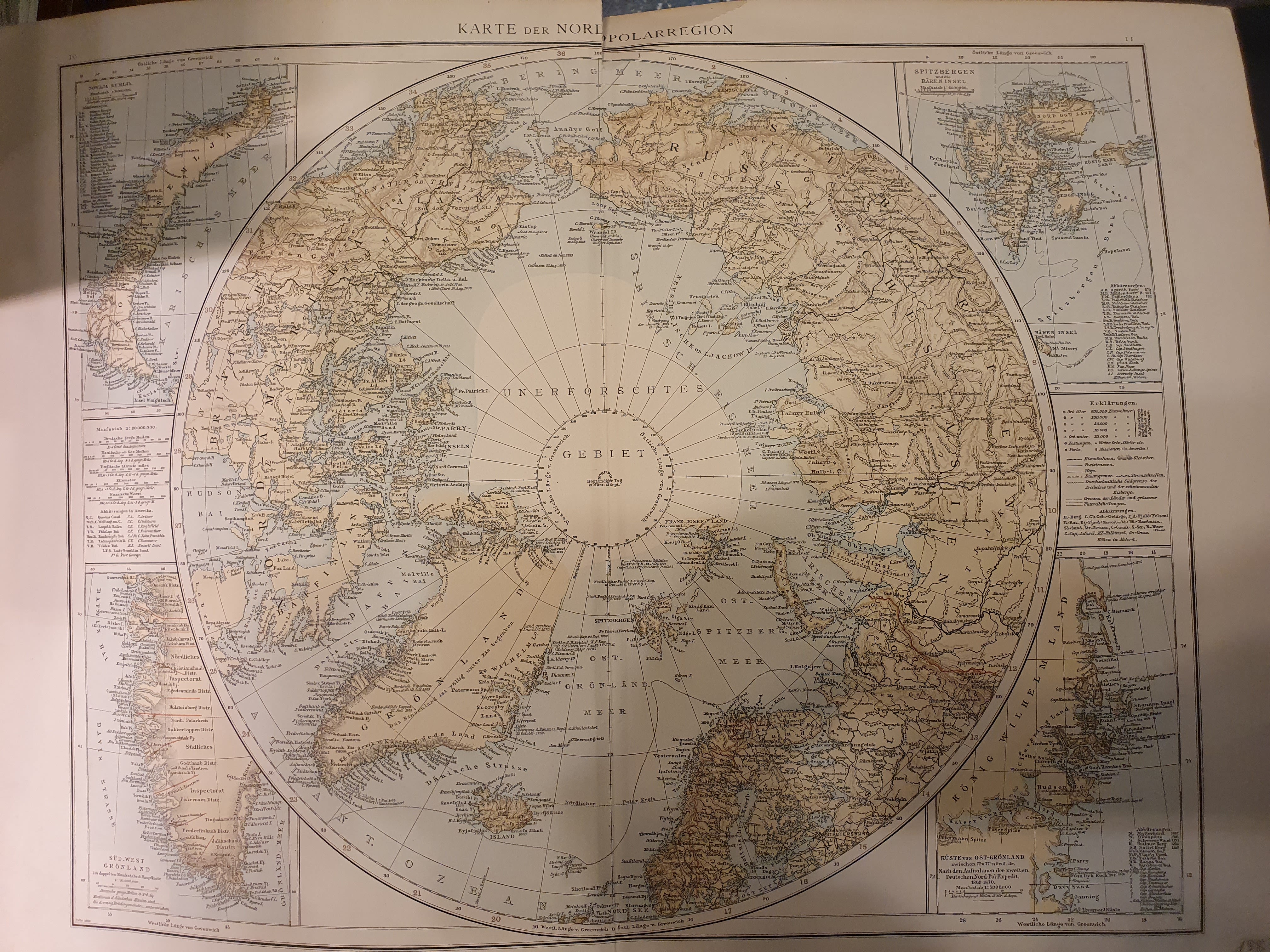
An old German map of the Arctic, a rare gem found ironically in an antique shop in Barcelona.
An old German map of the Arctic, a rare gem found ironically in an antique shop in Barcelona.
The world of Earth Observation
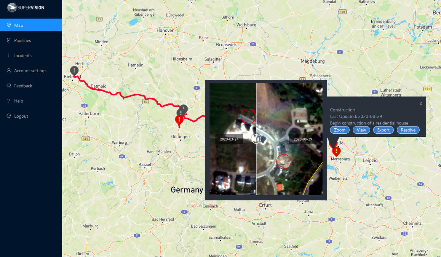
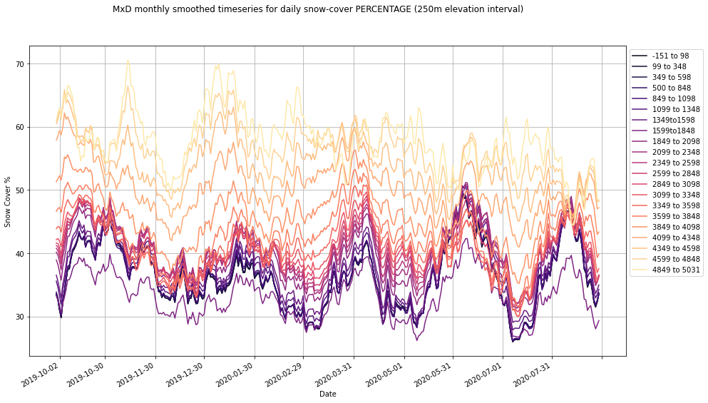
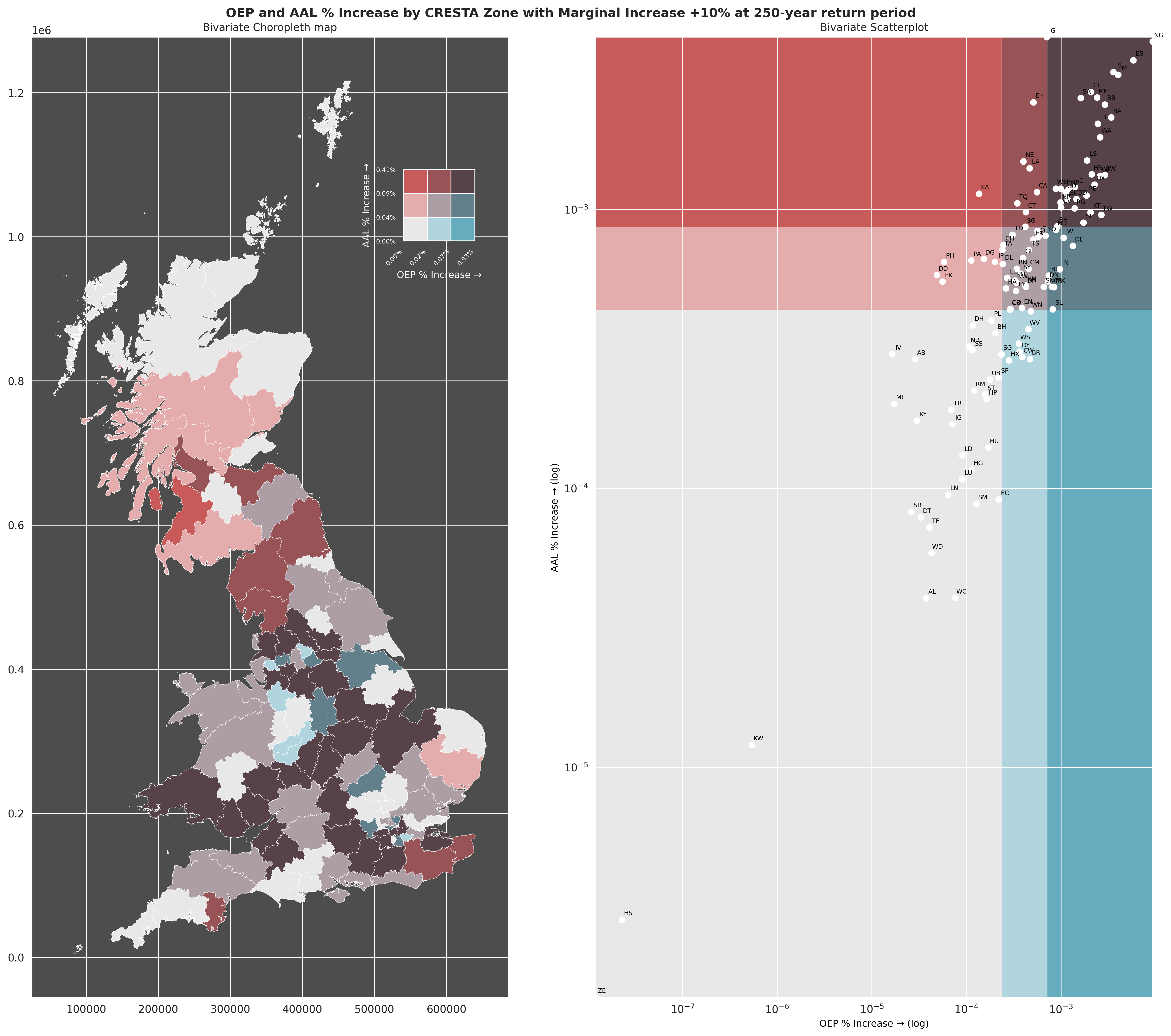
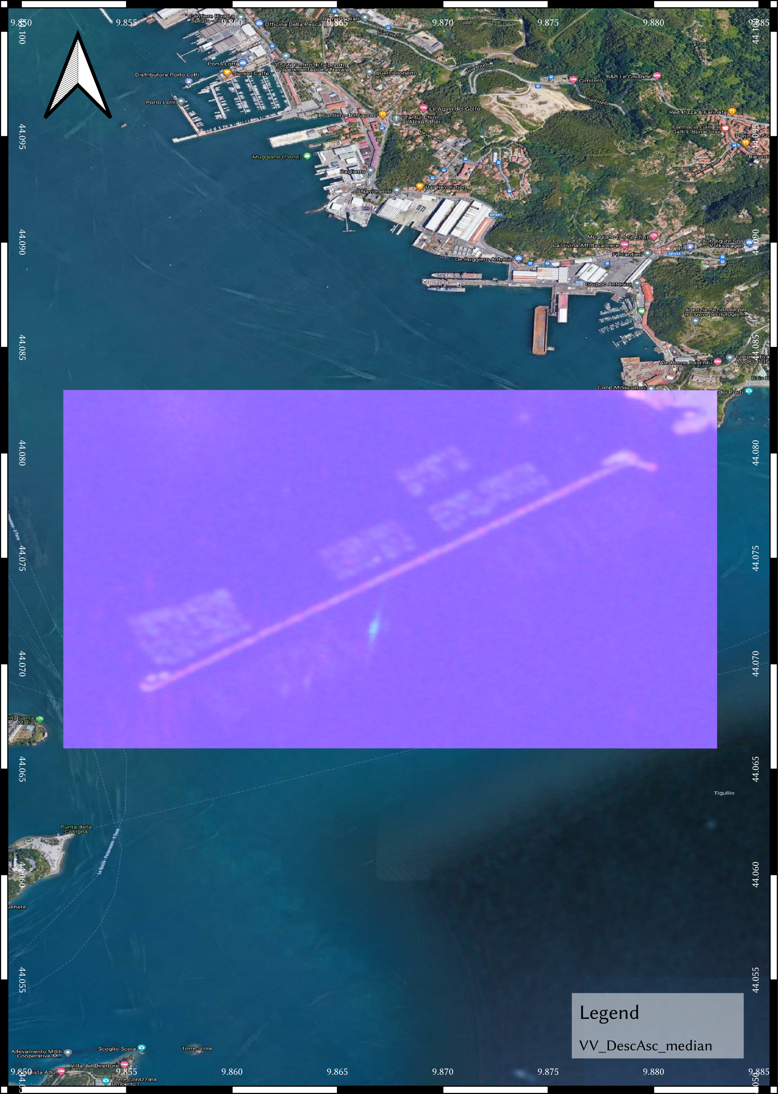
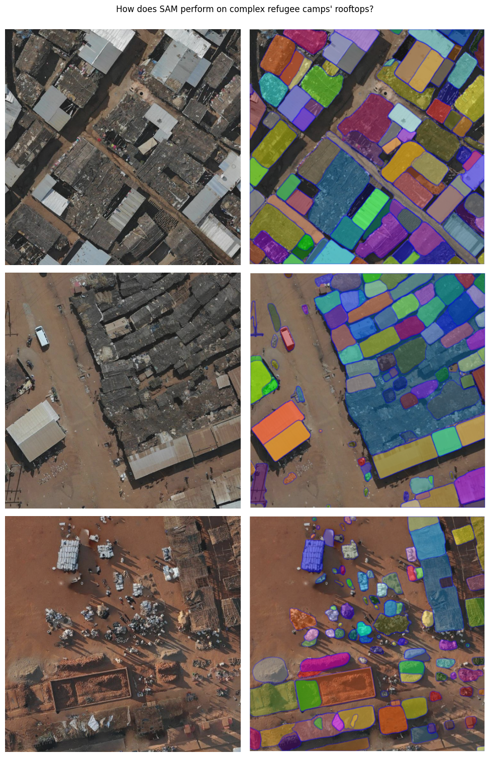
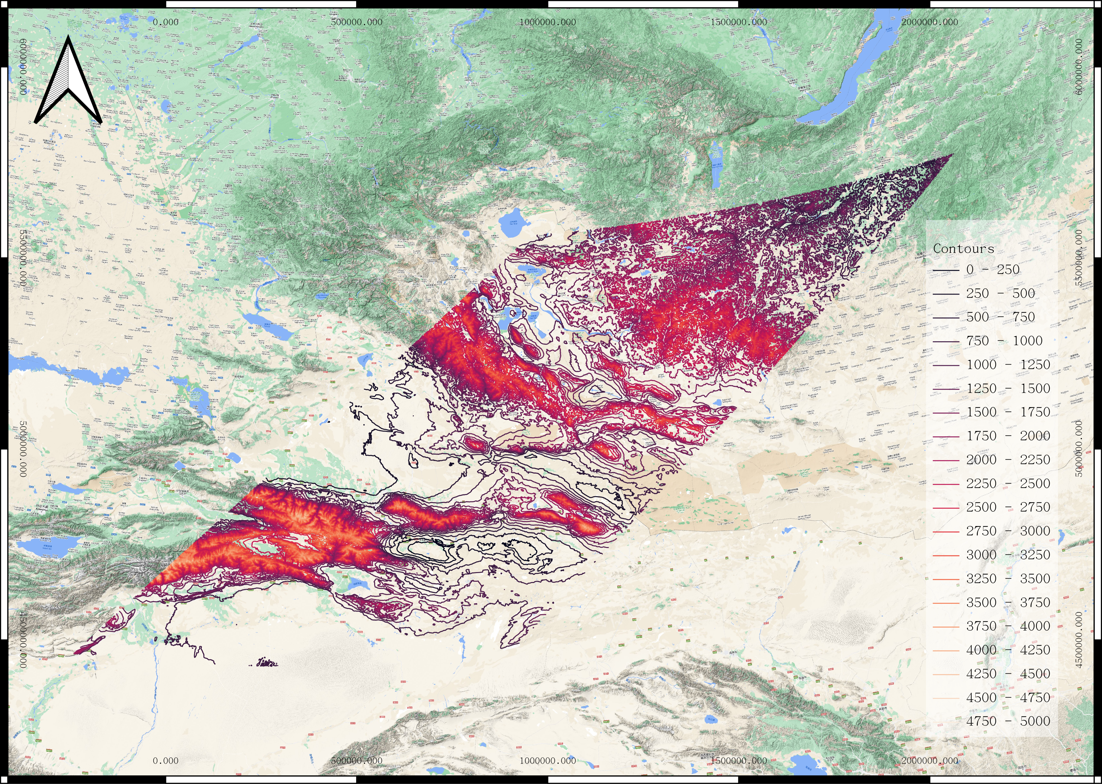
I still remember the days when I would spend the whole afternoon looking at Google Earth, without realising this would've paved the way for a new passion. I was officially introduced to the world of Earth Observation and Remote Sensing during my bachelor years, and since the topic have taken me "virtually" to study far flung places I have never imagined. From the glaciers of the Western Greenland Ice Sheet, to aquacultural sites of the Tyrrhenian Sea, to remote refugee camps of East Africa. I learnt, adapted, used different sensors and techniques to study our Earth.
Perhaps this was slightly different than what I had in mind when I imagined myself to be a globe-trotting adventurer. But the advent of cloud-computing and Geospatial big data have enabled me to work semi-nomadicly from time to time, a blessing in disguise.
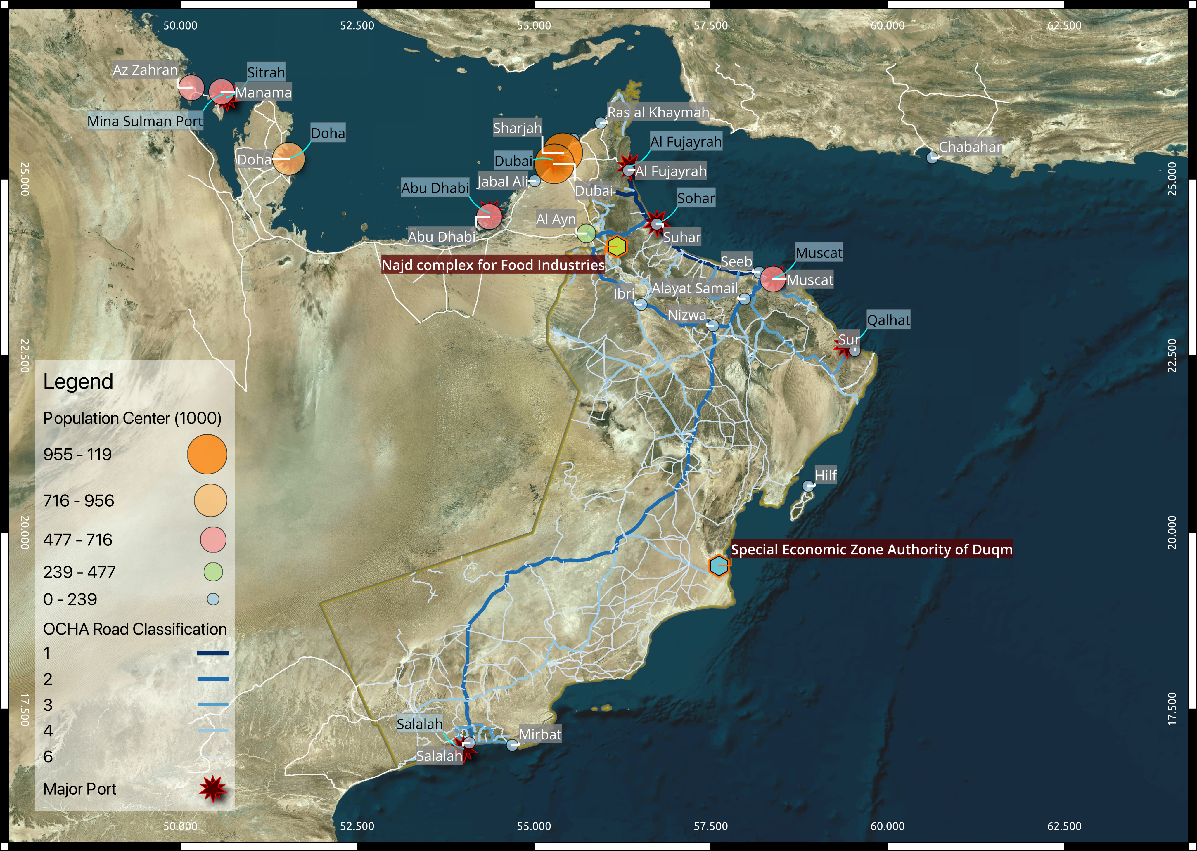
I invite to sample some of my work below, and please reach out to me if you recognise some of these places :)
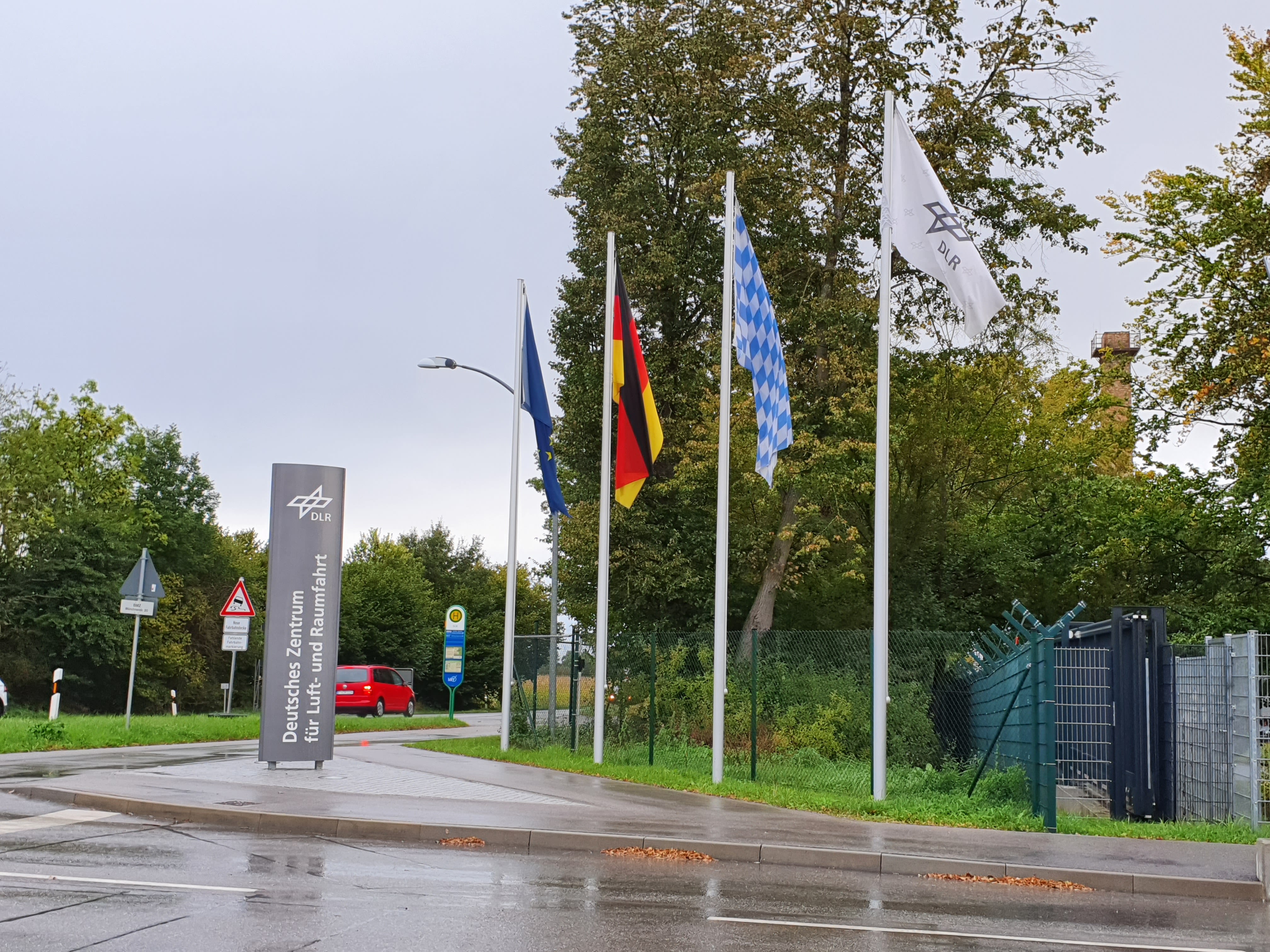
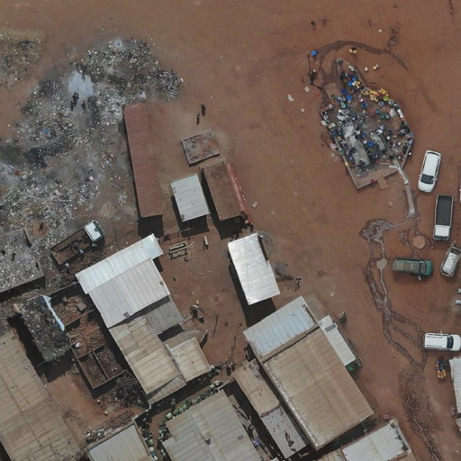
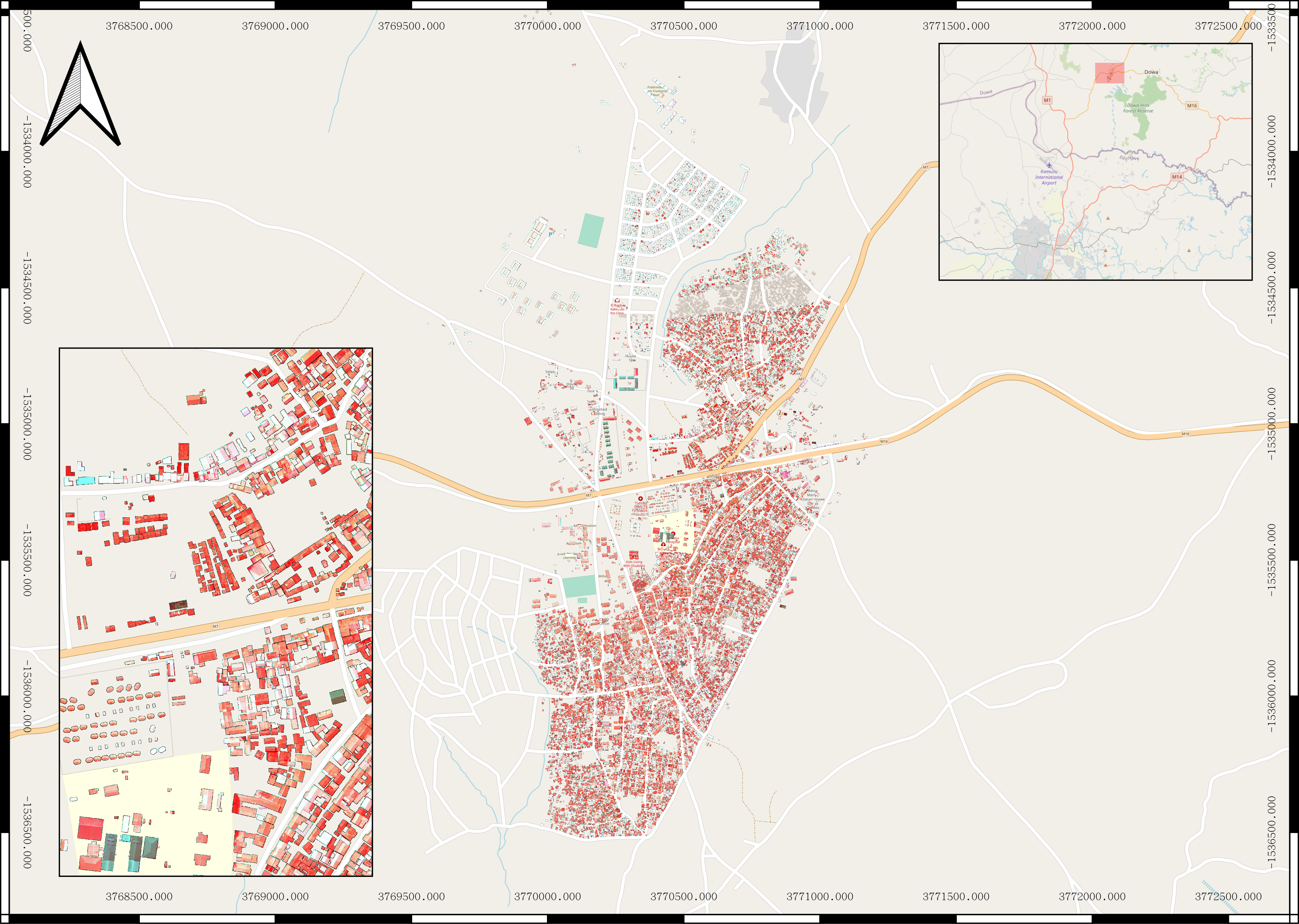
I have since diverged from the specialised tangent of Glacial Geomorphology and have been focused on applied Urban Remote Sensing. I therefore wrote my M.Sc. dissertation in partnership with the German Aerospace Center (DLR) and Humanitarian OpenStreetMap Team (HOT) to design a study that investigate the capability of AI-assisted mapping for the refugee camps of East Africa. Inspired by pressing problems identified by the Effective Altruism community, I hope that I can use my profession to tackle challenges in poverty alleviation and global development.
By 2022...
AI-assisted mapping @ HOT & DLR
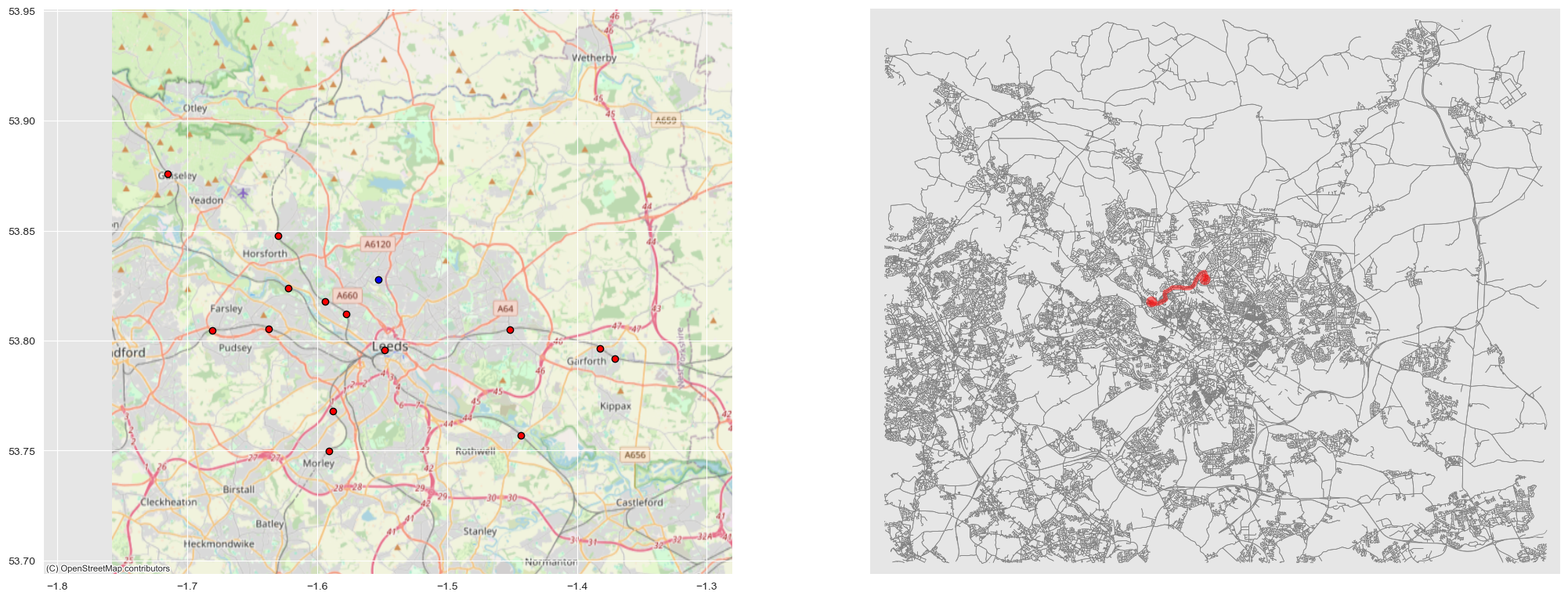
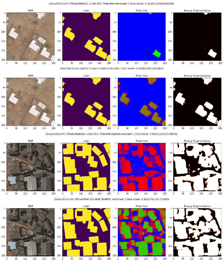
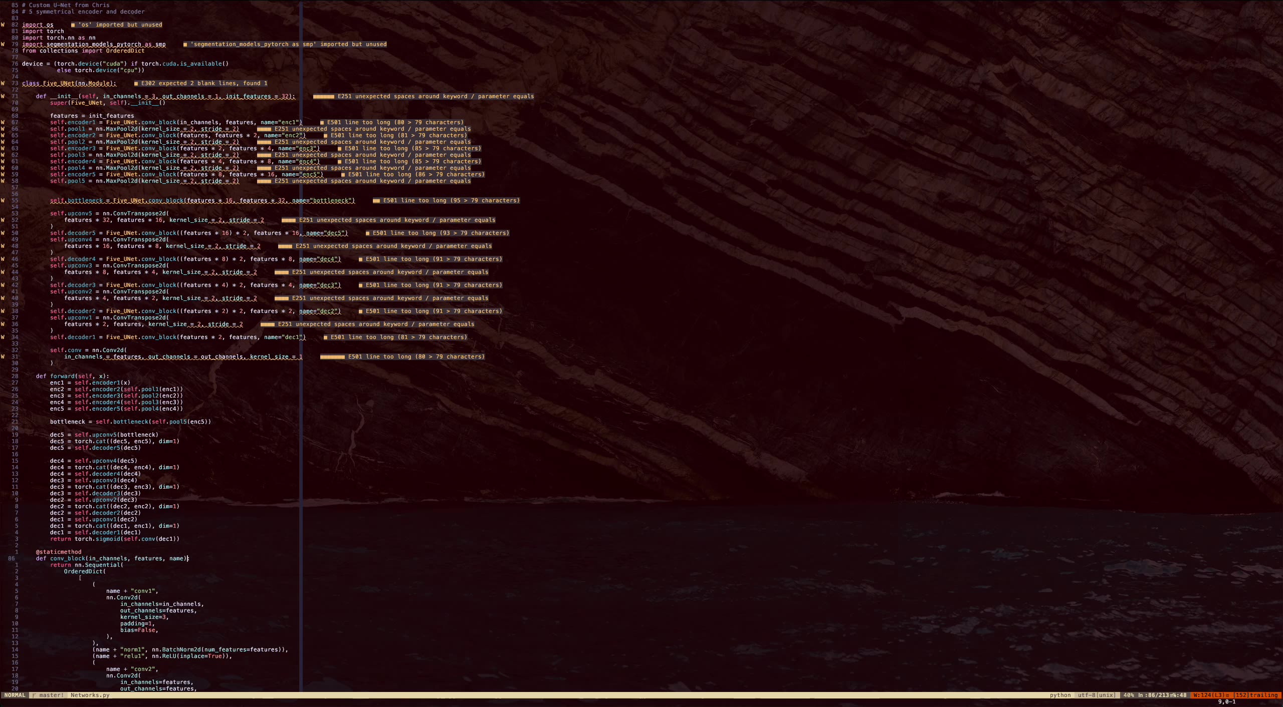
This pilot project is connected to a larger initiative to open-source the assisted mapping platform for Humanitarian OpenStreetMap Team (HOT) based on Very High Resolution (VHR) drone imagery. The study test and evaluate multiple U-Net based architectures on building segmentation for Refugee Camps in East Africa.
- To be Published
By 2024...
AiXist - Consortium for AI and Existential Risks
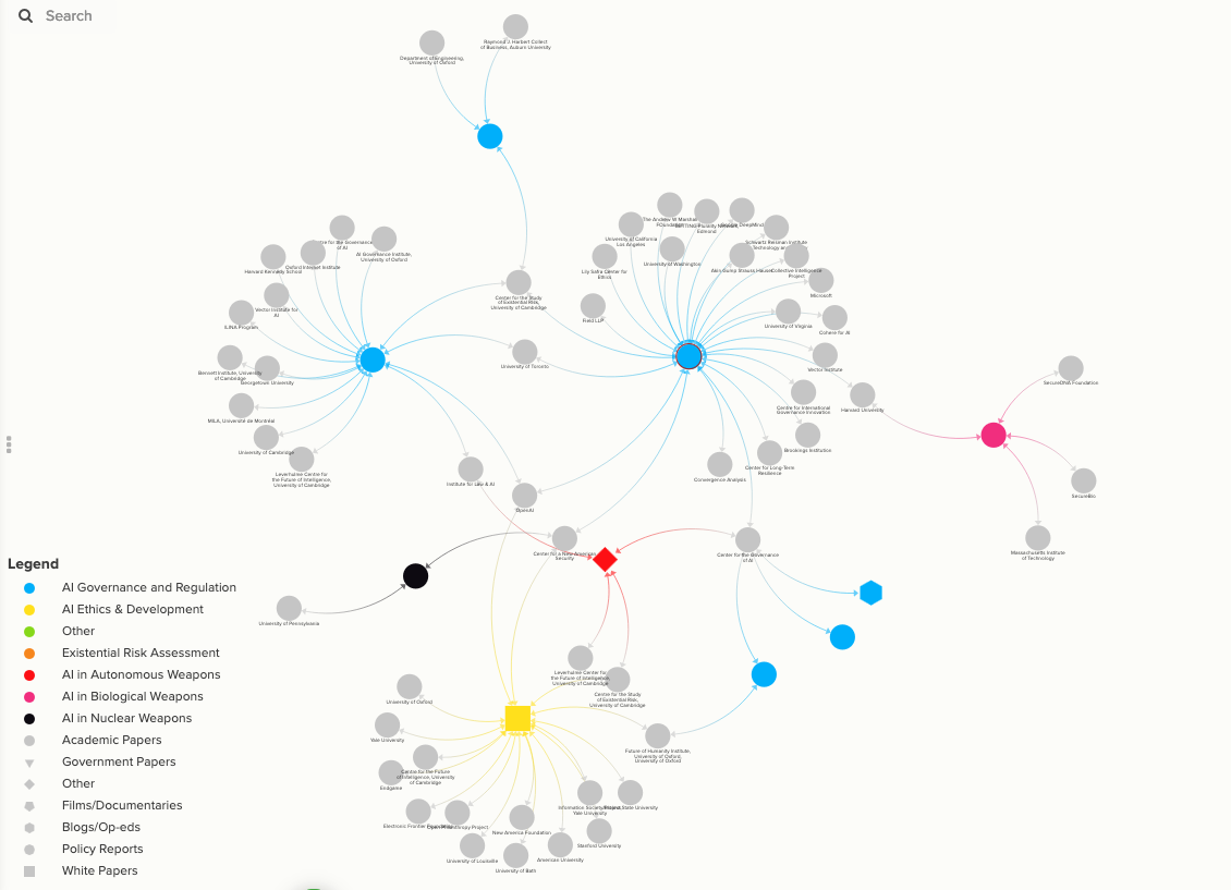
AiXist unites a broad spectrum of experts, organisations, and stakeholders to collectively tackle the existential risks posed by Artificial Intelligence (AI) development and convergence with advanced weapon systems, specifically nuclear, biological and autonomous weapons.
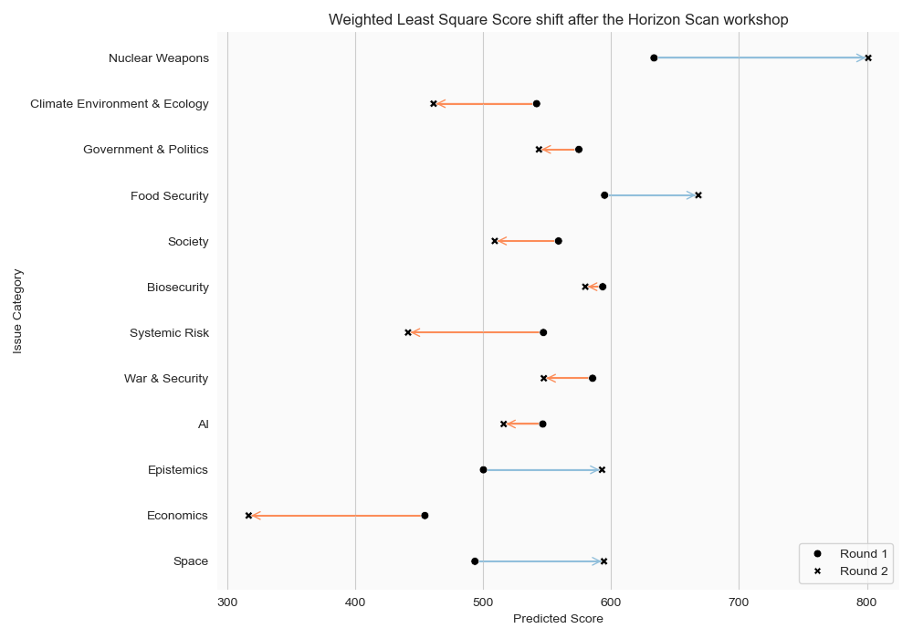
GCR & Civilisational Risks Horizon Scan
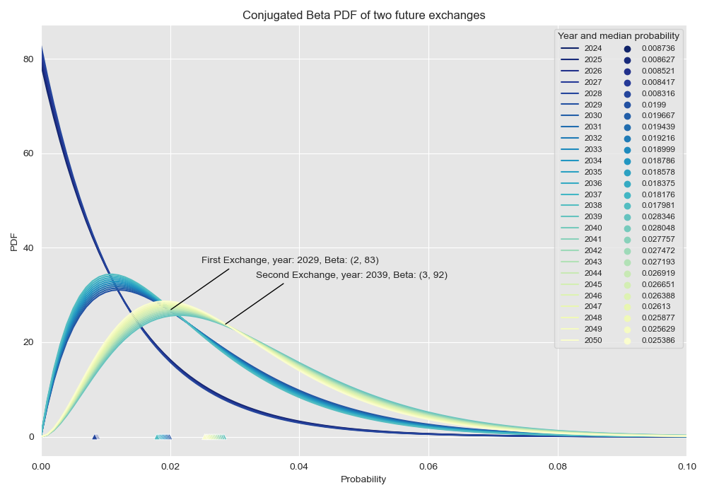
The ‘horizon scanning’ exercise aims to identify new and emerging issues in existential and catastrophic risks. Through the exercise, we aim to gain a better understanding of current and future risks and opportunities in the field. The ‘horizon scan’ will solicit input from a diverse range of experts and experienced practitioners in various disciplines surrounding risks to civilisation, specifically those related to tipping points and cascading risks of failure through a structured and iterative process.
Currently...
Working and Volunteering
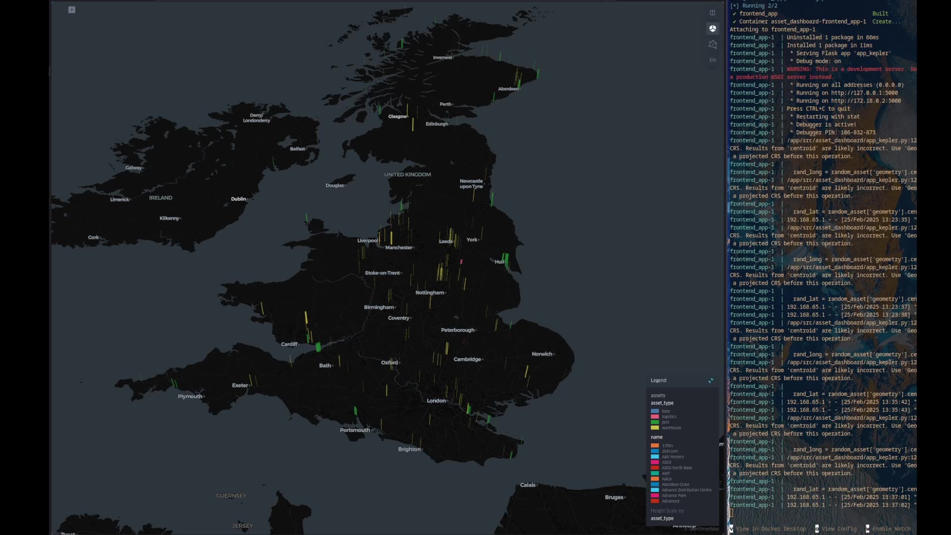
- Geospatial Data Engineer @ Allianz
- Research Associate @ AiXist
- Fellowship Facilitator @ Effective Altruism
Publications - ResearchGate
Learning
- NetLogo, Charm.sh Ecosystem, Golang, Microsoft Azure, Databricks, NixOS
- Existentialism and Absurdism, Complex System, Urban Freight Transportation System, Commodities
Please have a look at my tool shed...
How can I help you?
Contacts:
Write me an email
Connect with me on LinkedIn
Perhaps my CV or ~soydev~ repo would interest you
To learn more about 💡 Effective Altruism
© 2026 Christopher Yan-Chak, Chan
